
The coast from above.
Drone and helicopter photography of the Big Sur and Monterey coastline for estates, real estate listings, resorts, golf courses, editorial features and fine art prints. When a property's siting is its story, the aerial frame is not a bonus, it is the thesis: the house, the land, the forest and the ocean in a single glance. I have flown this coast from Point Lobos to Bixby Bridge, and photographed it from the ground for thirty years, so I know where the light falls before we take off.
Low-altitude drone work over properties; helicopter coverage for the long views.
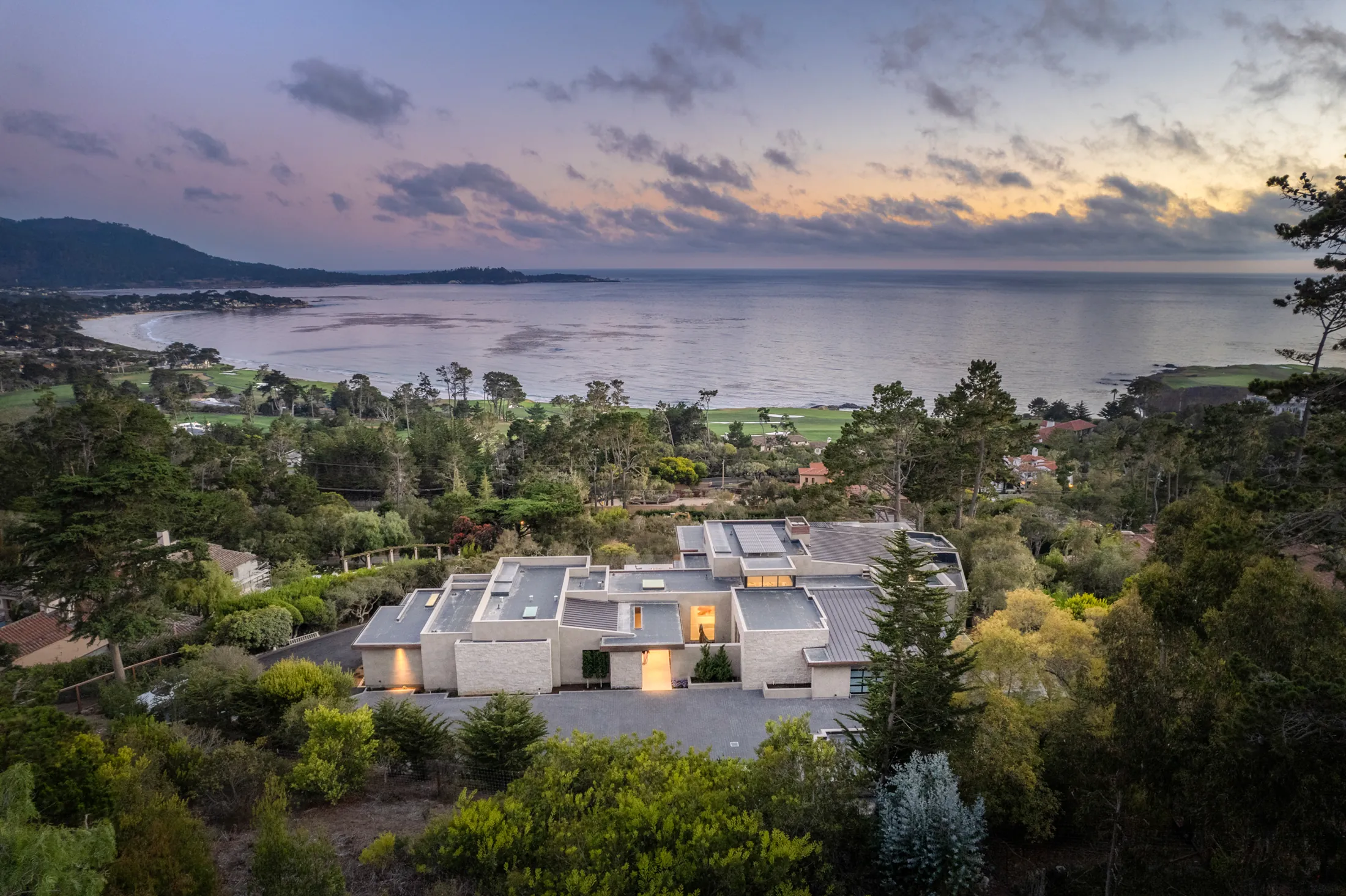
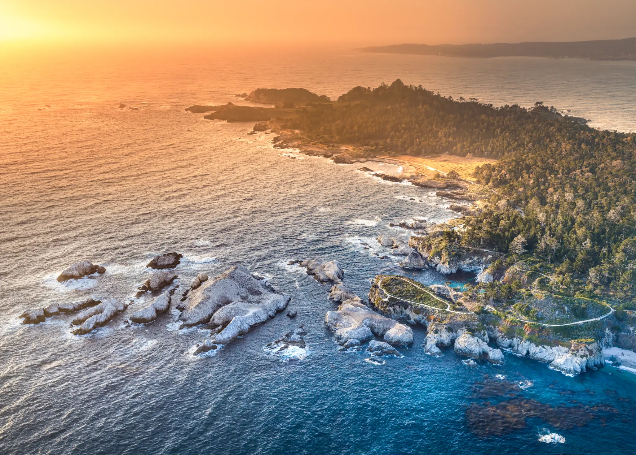
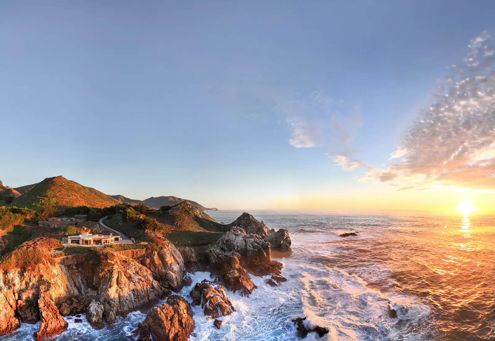
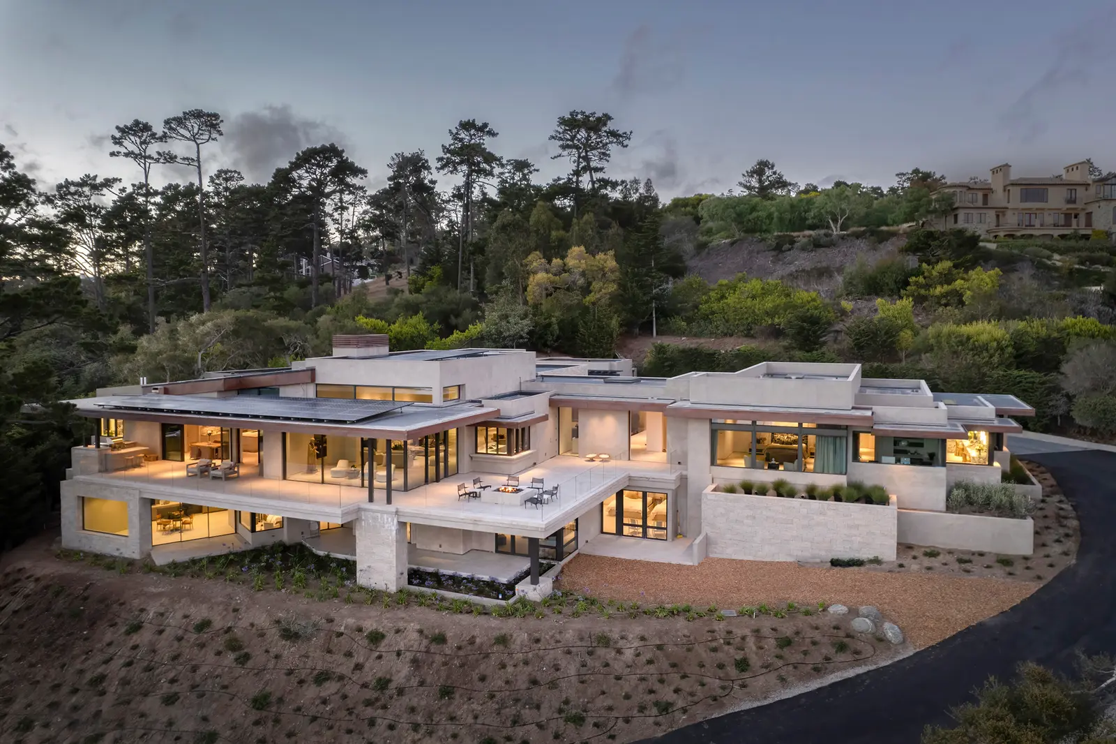
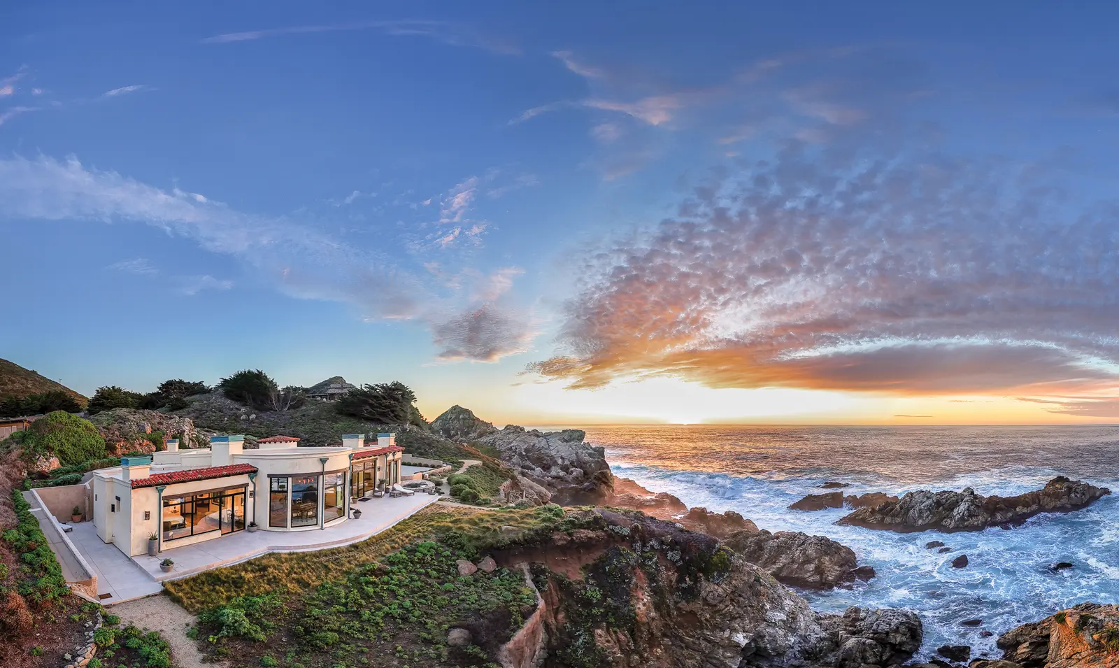
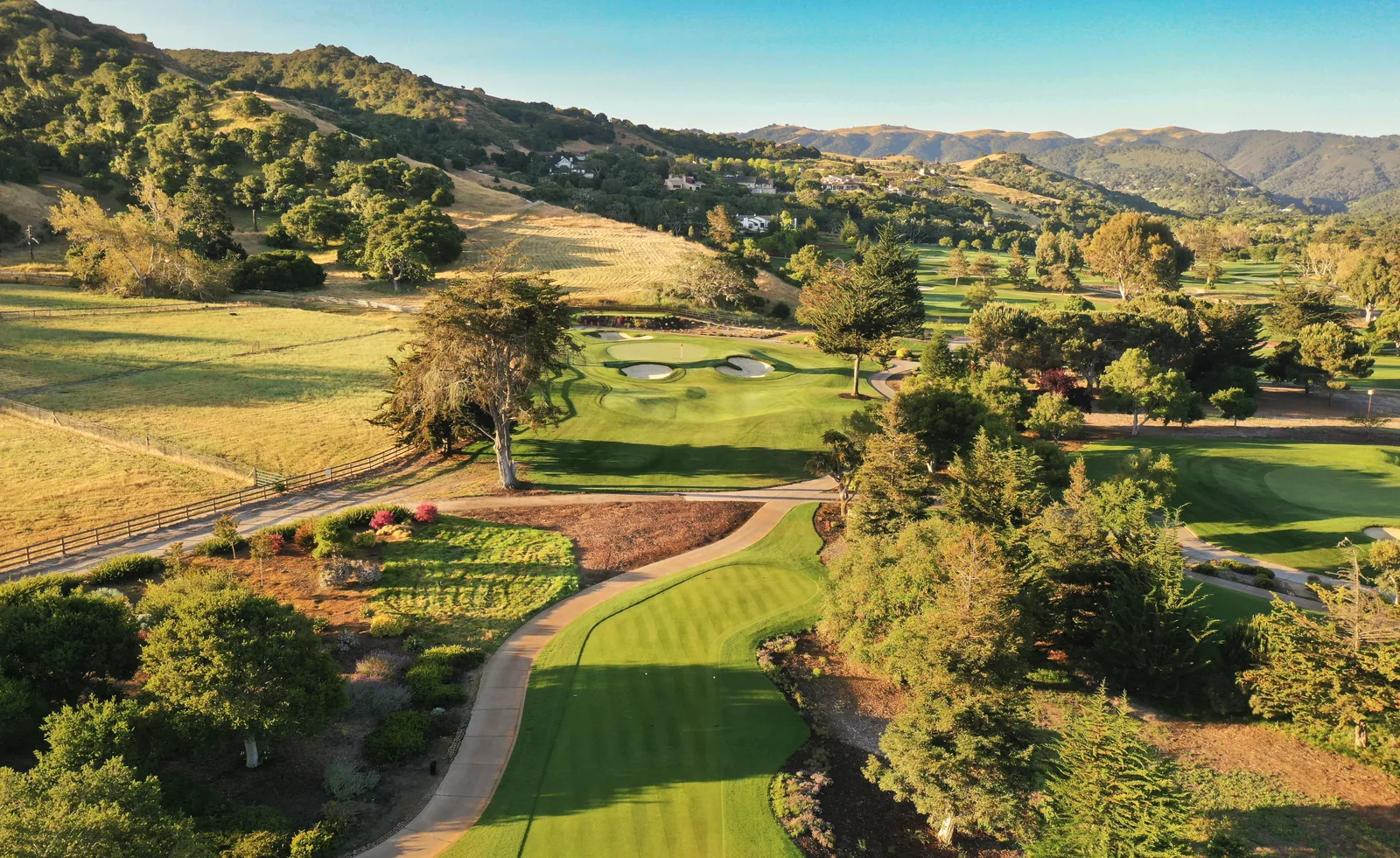
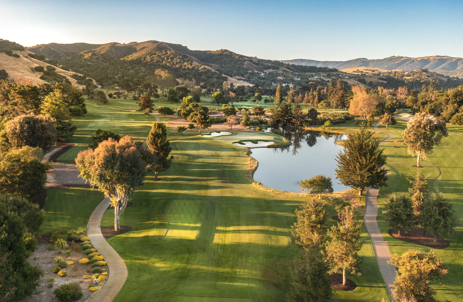
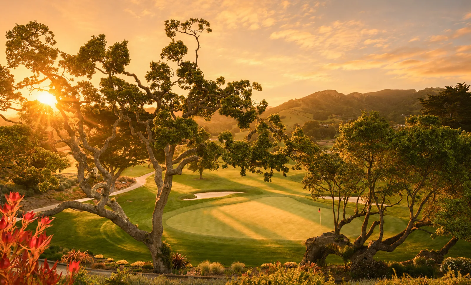
I do. I'm Manny Espinoza, a commercial photographer based in Carmel-by-the-Sea, and I photograph the Big Sur, Carmel and Pebble Beach coastline from the air by drone and by helicopter for estates, real estate listings, resorts, golf courses, editorial work and fine art prints. My aerial coverage of The Edge in Pebble Beach supported the estate's record $28 million sale.
When the siting is the story: ocean frontage, acreage, a golf course or forest setting, or a coastline the ground camera cannot show. One aerial frame explains the property, the lot and the view in a single glance, which is why it usually becomes the lead image of the listing.
Drone for most estates and listings, where a low altitude view over the property is the goal. Helicopter for wide coastal work such as Point Lobos, Bixby Bridge or the length of Big Sur, where altitude, range and airspace rules favor a crewed aircraft. Both are photographed on high-resolution cameras for print-quality files.
Yes. Coastal aerials such as Point Lobos and the Big Sur coast are printed in-house on a 64-inch Epson as archival giclée prints, available through the prints page.
Tell me the property and the dates. I'll reply within one business day with an approach and a quote.